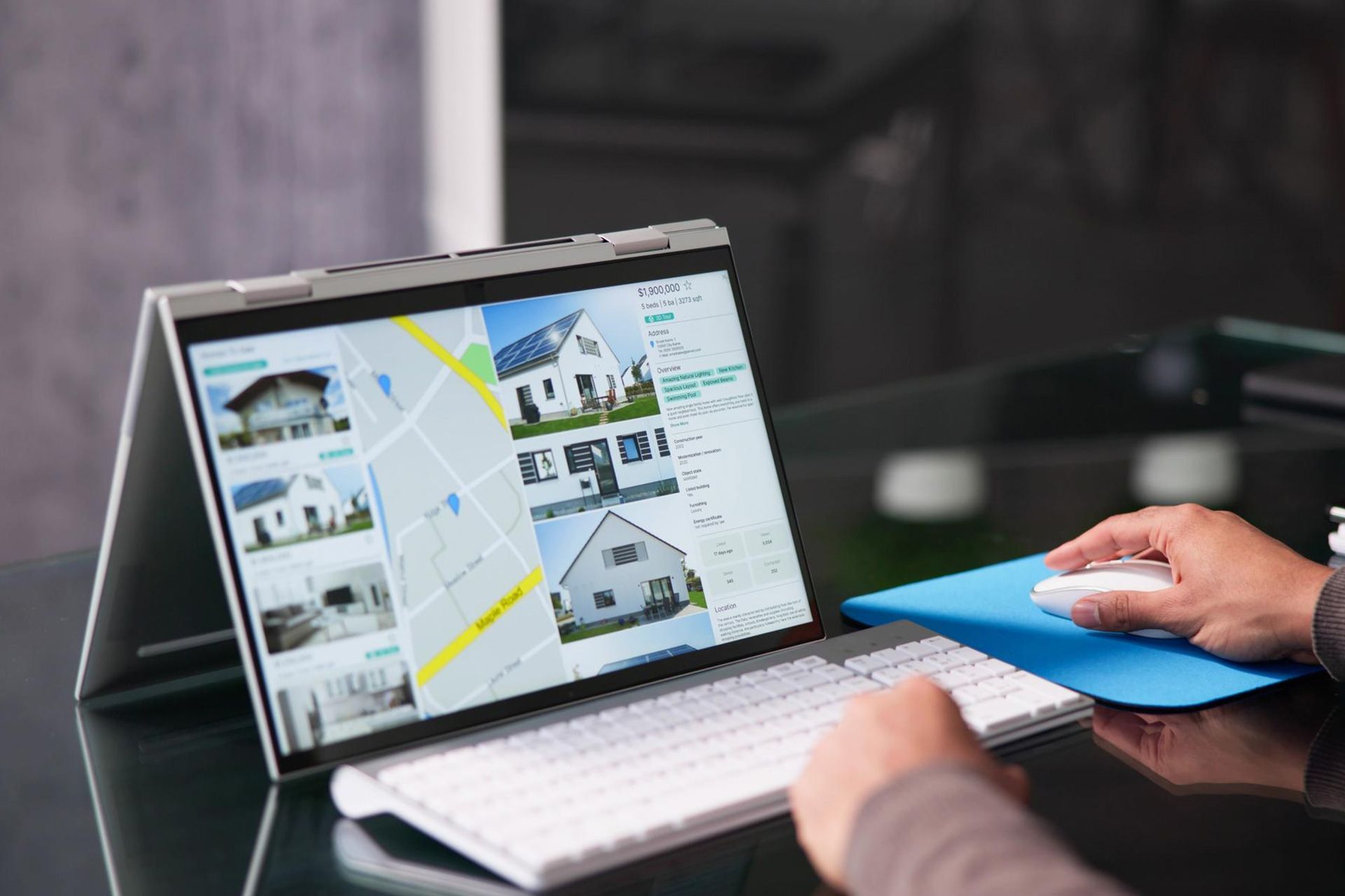
How to Download Images from Google Maps
Google Maps helps people explore businesses, landmarks, neighborhoods, parks, and other locations around the world. A business listing may include photos of its building, products, services, menu, or interior. Street View can also help users understand what an area looks like before they visit.
While browsing, you may find an image you want to save. You might need it for travel planning, a school project, a presentation, a website, or your business records. However, completing a Google Map photo download is not always as simple as right-clicking an image.
Google Maps does not offer a standard download button for most photos uploaded by other users. More importantly, being able to save a file does not mean you have permission to reuse it.
The right method depends on the type of image, who owns it, and how you plan to use it. This guide explains how to download images from Google Maps safely, when screenshots may be allowed, and which methods you should avoid.
Can You Download Images from Google Maps?
You can save certain Google Maps content in limited situations. For example, you may retrieve your own uploaded photos, capture a standard map screenshot for an allowed purpose, or embed a map on a website.
However, you should not assume that every image displayed on Google Maps is free to download or publish.
The content you see may include:
- Photos uploaded by customers or local guides
- Photos uploaded by a business owner
- Standard Google Maps graphics
- Satellite imagery
- Google Earth imagery
- Street View scenes
- Images supplied by third-party data providers
Each type of content may have different usage rules.
Google requires attribution when Google Maps, Google Earth, or Street View content is used. The required credit normally appears at the bottom of the map or image. It must not be removed, hidden, or cropped out.
Identify the Type of Image Before Saving It
Before you try to download an image from Google Maps, determine what kind of content you are viewing.
A photo you uploaded
This may be a photo you added to a review, business listing, or Local Guides profile. Since you created the original image, you may already have a copy on your phone, computer, Google Photos account, or cloud storage.
A photo uploaded by another user
Restaurants, parks, hotels, stores, attractions, and service businesses often have photos submitted by visitors. These photos are publicly visible, but that does not make them free for anyone to reuse.
The photographer may still own the copyright. You should request permission before placing the image on a website, social media page, advertisement, brochure, or other marketing material.
A standard Google map
A standard map shows streets, business names, roads, landmarks, and other location data. Google permits screenshots for some uses, but attribution and other restrictions apply.
A Street View image
Street View shows a ground-level view of a street, building, or neighborhood. Google does not permit users to screenshot Street View imagery or remove it from an embedded source for separate use.
Satellite or Google Earth imagery
Satellite and Google Earth images may have stricter commercial-use limits. Do not treat them the same as a basic road map. Check the current Geo Guidelines before using this content in business promotions, advertisements, real estate listings, or company materials.
How to Download Your Own Google Maps Photos
When the photo belongs to you, the safest approach is to locate the original file instead of extracting a lower-quality copy from Google Maps.
Check your original device or storage account
Start by checking:
- Your phone’s photo gallery
- Google Photos
- Apple Photos or iCloud
- Google Drive
- OneDrive
- Dropbox
- Your computer’s Pictures or Downloads folder
- An external storage drive
The original file will normally have better resolution than the version displayed on a Maps listing.
Find photos you contributed to Google Maps
Google allows users to view the photos and videos they have added.
On a computer:
- Open Google Maps.
- Sign in to the account used to upload the photo.
- Open the main menu.
- Select your contributions.
- Choose Photos.
- Find the image you uploaded.
Google also allows you to share or delete your contributed photos from this section.
The menus may look slightly different on Android, iPhone, or desktop. Google updates its interface from time to time, so look for options such as Contribute, View your profile, or Your contributions.
Request an archive through Google Takeout
When you cannot find the original file, Google Takeout may help you export available data associated with your Google Account.
To create an archive:
- Sign in to the correct Google Account.
- Open Google Takeout.
- Review the available Google products.
- Select the data you want to include.
- Choose the delivery method and file type.
- Request the export.
- Download the archive when Google notifies you that it is ready.
The data available may depend on your account and the Google services you used. Google also notes that recent changes may not appear in an archive created immediately afterward.
Can You Download Photos Uploaded by Other Google Maps Users?
Google Maps does not provide a general download feature for photos uploaded by other people.
You may come across browser tricks, extensions, source-code methods, or third-party tools that promise to download Google Map photos. These tools may extract a displayed image file, but they do not give you ownership or permission to publish it.
A safer process is:
- Open the photo in Google Maps.
- Identify the contributor’s profile when possible.
- Use the available sharing option to copy the Maps link.
- Contact the photographer through an appropriate public channel.
- Explain where and how you want to use the photo.
- Get written permission before publishing it.
- Give credit when required by the photographer.
Keep a record of the permission. An email or written message is more reliable than a verbal agreement.
For example, imagine that a home inspection company finds a customer photo showing one of its inspectors at work. The company should not copy that image directly into a website banner. It should first contact the photographer and request permission. The company may also decide to schedule its own professional photo shoot, which provides better quality and clearer ownership.
How to Capture a Standard Google Maps Screenshot
A standard map screenshot may be suitable for some educational, informational, or limited business uses. However, the screenshot must follow Google’s current rules.
This method applies to the standard road map view. It does not give permission to screenshot Street View.
Steps for a standard map screenshot
- Open Google Maps on your computer or mobile device.
- Search for the location you want to display.
- Select the standard map view.
- Adjust the zoom level.
- Make sure the Google attribution and data-provider credits are visible.
- Use your device’s built-in screenshot tool.
- Crop only unnecessary browser controls or empty space.
- Do not remove the attribution shown on the map.
Google allows users to add labels or graphics in some situations, but the underlying map should not be significantly changed. You should not alter the map’s colors, remove credits, or present the map as your own work.
Before using a screenshot in advertising, product packaging, large print campaigns, videos, or other commercial materials, review the Geo Guidelines for that exact use.
Can You Download or Screenshot Street View Images?
You should not download Street View images for separate use. You also should not capture a Street View screenshot and publish it as a stand-alone image.
Google states that Street View imagery may not be screenshotted or removed from embedded sources. It also prohibits downloading Street View images for offline or separate use. These restrictions apply to commercial, nonprofit, and academic projects.
This rule allows Google to update or remove imagery when required. For example, Google may blur a face, license plate, home, or other private detail after receiving a request. A separate screenshot would not reflect later changes.
Use one of these options instead:
- Link directly to the location in Google Maps
- Embed Street View on your website
- Use an approved Google Maps Platform API
- Take your own photo from a lawful public location
- License an image from the property owner or photographer
How to Embed Google Maps on a Website
Embedding is often better than downloading a static map image. An embedded map remains interactive and normally displays the required attribution automatically.
To embed a location using Google Maps:
- Open Google Maps on a computer.
- Search for the business, address, or location.
- Select Share.
- Choose Embed a map.
- Select the preferred map size.
- Copy the HTML code.
- Paste the code into your website.
Google’s official sharing instructions support copying HTML to place a map on a web page.
Businesses that need greater control can use the Maps Embed API. It can display interactive maps and Street View panoramas through an iframe. Google’s documentation states that Maps Embed API requests are available without usage charges, although setup requirements such as an API key may apply.
A home inspection company, for example, could embed a standard map on its contact page to show its office or service area. This is usually more useful to visitors than placing a downloaded image of the map on the page.
Can You Download Google Maps Images in High Resolution?
Google Maps does not provide a general high-resolution download button for user-contributed photos or Street View scenes.
When you need a high-quality image, consider the source:
- For your own photo, locate the original file.
- For another user’s photo, request the original from the photographer.
- For a business location, hire a photographer or take a new image.
- For a website map, use an embed or approved Maps Platform product.
- For print materials, review Google’s print-use rules.
- For satellite or Earth imagery, follow the separate Google Earth guidelines.
Avoid enlarging a small screenshot. It may become blurry, and enlarging it does not resolve copyright or usage restrictions.
Third-party websites that advertise a Google Maps image downloader may also create security and privacy risks. Do not give an unknown tool access to your Google Account, browser data, or business information.
Google Maps Download Methods You Should Avoid
Older tutorials may recommend Google Maps image download methods that are outdated, unsupported, or unsafe. Even when a method technically saves an image, it does not give you permission to reuse that content.
Using “Report a problem” to access the image
The reporting feature is meant for inappropriate, inaccurate, or policy-violating content. Google’s instructions direct users to this option when they genuinely need to report a photo or video. It should not be used as a download shortcut.
Removing attribution
Do not crop, cover, blur, or delete the Google name or third-party data credits. Attribution must remain visible and close to the map content.
Screenshotting Street View
Street View screenshots are not permitted for separate use. Use an embed, link, or approved API instead.
Using an image because it is publicly visible
Public access is not the same as public ownership. A customer photo can be visible to millions of users while still being protected by copyright.
Trusting every download extension
Browser extensions and online downloaders may stop working when Google changes its platform. Some may also collect browsing data or request unnecessary permissions.
Use Google Maps Images the Right Way
Learning how to download images from Google Maps involves more than finding a technical shortcut. You must first determine who owns the image and what type of Maps content you are viewing.
For your own photos, look for the original file or request an account archive. For another person’s photo, ask permission. For a business location, use a standard map embed. Never download or screenshot Street View for separate use, and always keep required attribution visible.
Accurate content and responsible image use also matter when building a professional website. Oamii Marketing helps home inspection companies create clear, trustworthy websites supported by SEO, paid advertising, CRM tools, and practical digital marketing strategies. Contact Oamii to build an online presence that attracts the right customers while following current platform standards.
Frequently Asked Questions
How do I download an image from Google Maps?
First identify whether the image is your own photo, another user’s photo, a standard map, or Street View. Retrieve your own photos from the original device or account data. Ask permission before using another person’s photo. For standard maps, a properly attributed screenshot may be allowed in certain situations.
Is it legal to download Google Map photos?
The answer depends on ownership and intended use. Downloading your own image is different from copying another user’s photo for advertising. Publicly visible photos may still be protected by copyright. Seek permission when you do not own the image.
Can I use a Google Maps photo on my business website?
Do not use another contributor’s photo without permission. For a map showing your location, use Google’s official embed feature. For Street View, use an embed or approved API rather than a screenshot.
Can I use a Google Maps photo downloader?
A downloader may technically save an image, but it does not grant reuse rights. Third-party tools may also be unreliable or request risky browser permissions. Official sharing, embedding, exporting, and permission-based methods are safer.
How do I download Google Maps images in high resolution?
There is no standard high-resolution download option for most user photos or Street View images. Locate the original file when it belongs to you. Otherwise, ask the photographer for the original or use properly licensed photography.
Can I save a Street View image to my phone?
Google does not permit downloading or screenshotting Street View imagery for separate use. Save the Maps link or use an official Street View embed instead.
How can I add my own photos to Google Maps?
Open Google Maps, find the relevant place, and use the option to add photos or videos. You can also access the contribution area from your profile. Google allows users to add media to eligible businesses, parks, and other points of interest, but not to private residences, coordinates, or general geographic areas.
Disclaimer: The information on this website and blog is for general informational purposes only and is not professional advice. We make no guarantees of accuracy or completeness. We disclaim all liability for errors, omissions, or reliance on this content. Always consult a qualified professional for specific guidance.
Search
Recent Posts